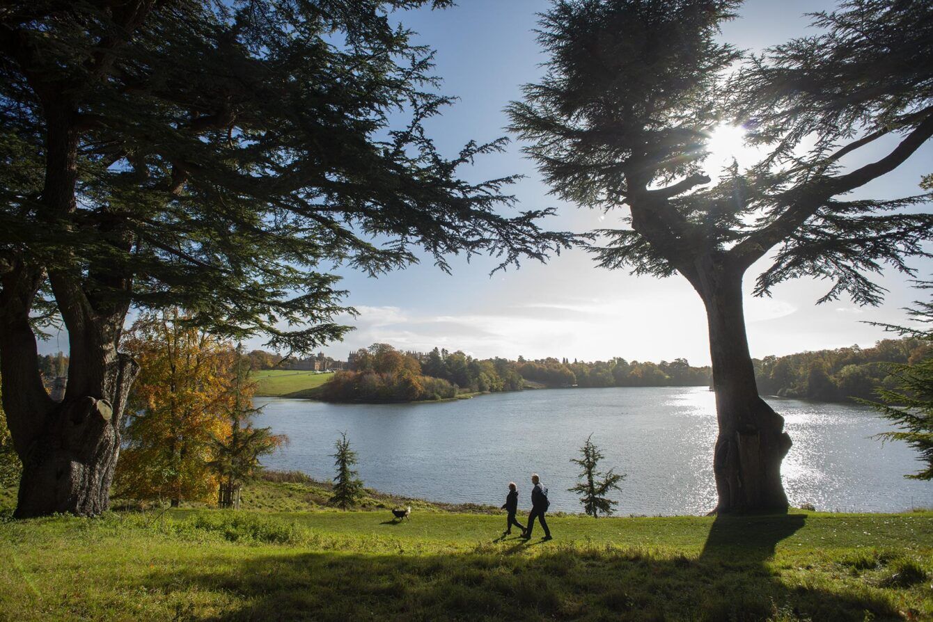
Bluesky National Tree Map data supports vital conservation work at Blenheim Palace

High resolution aerial photography and specialist tree data is being used by the Estate team at Blenheim Palace in Oxfordshire to map all the woodlands across the 5,000-hectare estate, track landscape changes and inform vital woodland conservation and management work.
The detailed aerial images are providing conservationists with an insight into the number of trees on the estate, as well as how the woodland canopy is changing over time on the grounds around the Palace, famed for being the birthplace of Sir Winston Churchill.
As well as housing Europe’s largest concentration of ancient oak trees, more recent conservation work includes a tree planting initiative over a 150-hectare site, making it the largest tree planting site in southern England.
Specialists are also applying tree canopy cover, height and location data from Bluesky’s unique National Tree MapTM (NTMTM). This dataset, which captures data for all trees 3 metre and taller in Great Britain, is being used to analyse the age and type of different woodlands as well as to track past and future changes.
David Gasca, Head of Natural Capital at Blenheim Palace, said: ““Knowing where our oldest trees are located means we are able to better tell the story of the estate’s natural history. Pinpointing locations through the aerial data means we can direct specialists to the most important locations in our woodlands and develop plans to protect and enhance them in future management and planting strategies.”
The data details how tree coverage has changed on the estate over time.
David noted: “The NTMTM imagery shows how one of our sites on the edge of Oxford has transformed from primarily grazing land to a rich habitat of woodland and scrub in under 20 years.
“This has been achieved entirely through natural regeneration and limited intervention which in turn is now making us consider what can be achieved across the Estate as a whole.”
Aerial imagery from the 1940s suggests the estate was much more open back then than it is now. The current data from Bluesky helps to age the trees and understand how the landscape has changed and regenerated itself.
David will be looking to overlay the old imagery with the current Bluesky data to inform other planting programmes.
He added: “There is a big drive nationally to plant trees, but this data to track and monitor gives us insight as to how the trees are evolving and the role natural regeneration might play in helping us expand the extent of woodlands across our Estate.”
Ralph Coleman, Chief Commercial Officer at Bluesky, said: “Understanding our past unlocks potential for future regeneration and planning. Geospatial datasets hold vital information that can support important conversation projects and work like these happening at Blenheim Palace.
“The importance of restoring natural habitats to increase biodiversity, capture carbon and protect species that inhabit them, is something we are seeing more and more of our customers turn to us for support.”
The Bluesky data is also revealing surprising and valuable insights into the recently discovered estate’s colony of Purple Emperor butterflies. The Purple Emperor butterfly dwells in the highest point of the tallest trees in Blenheim’s woodland, and the NTMTM height data can be used to map the best locations for the butterflies.
Knowing where the butterflies dwell enables advanced monitoring to be put in place providing insights into the species and identifying the areas needing special protection.
ENDS
For more information contact the press team – estate@cabcampaign.co.uk
Notes to Editors
About Blenheim Palace
Home to the Dukes of Marlborough since 1705, Blenheim Palace was designated a UNESCO World Heritage Site in 1987.
Set in over 2,000 acres of ‘Capability’ Brown landscaped parkland and designed by Vanbrugh in the Baroque style, it was financed by Queen Anne, on behalf of a grateful nation, following the first Duke of Marlborough’s triumph over the French in the War of the Spanish Succession.
Today it houses one of the most important and extensive collections in Europe, which includes portraits, furniture, sculpture and tapestries.
Blenheim Palace is also the birthplace of one of Britain’s most famous leaders, Sir Winston Churchill, and it was his father who described the vista on entering the Estate from the village of Woodstock as the ‘finest view in England’.
About Bluesky International
Bluesky International is the leading aerial survey company in the UK and is UK Government’s supplier of choice for national aerial photography and height data.
Bluesky produces and maintains national aerial photography and height data of Great Britain and the Republic of Ireland on regular update programmes. Bluesky also undertakes bespoke surveys, including LiDAR, for a range of public and private sector clients.
Bluesky International operates a range of aircraft and sensors including three Ultracam
Eagle Mark 3s, TerrainMapper and two CityMappers which allow the simultaneous
collection of vertical and oblique imagery, as well as LiDAR data. These systems put Bluesky International in the enviable position of being able to provide customers with unique and cost-effective geospatial solutions.
As well as being an established and respected aerial survey company Bluesky International is also highly innovative and continually strives to develop new products and services by embracing new technology and methods. This has resulted in the development of some unique products such as the National Tree Map™ (NTM™) and National Hedgerow Map™ (NHM™).These datasets underpin long term contracts with local and central governments and many major blue-chip companies from a range of market sectors including financial services, utilities, telecoms, insurance, construction and environment.
Bluesky International has offices in the UK, US, Republic of Ireland and a dedicated production centre in India. For more information, please visit https://Bluesky-world.com/


